Introduction
Using content chosen by an interdisciplinary and international advisory board, Places & Spaces: Mapping Science aims to demonstrate the power of maps to navigate and make sense of physical places and abstract topic spaces. Scientists will be stimulated, students and teachers encouraged, and the general public fascinated by this multi-layered, accessible approach to the worlds of modern scientific thought. These fascinating maps explore the future of science mapping and continue the exhibit’s commitment to bringing audiences the most stunning and groundbreaking examples of data visualization from the most brilliant mapmakers of our time.
Credits
Curatorial Team: Katy Börner, Lisel Record, Todd Theriault
Places & Spaces: Mapping Science is curated by Dr. Katy Börner and Lisel Record at the Cyberinfrastructure for Network Science Center, School of Informatics at Indiana University.
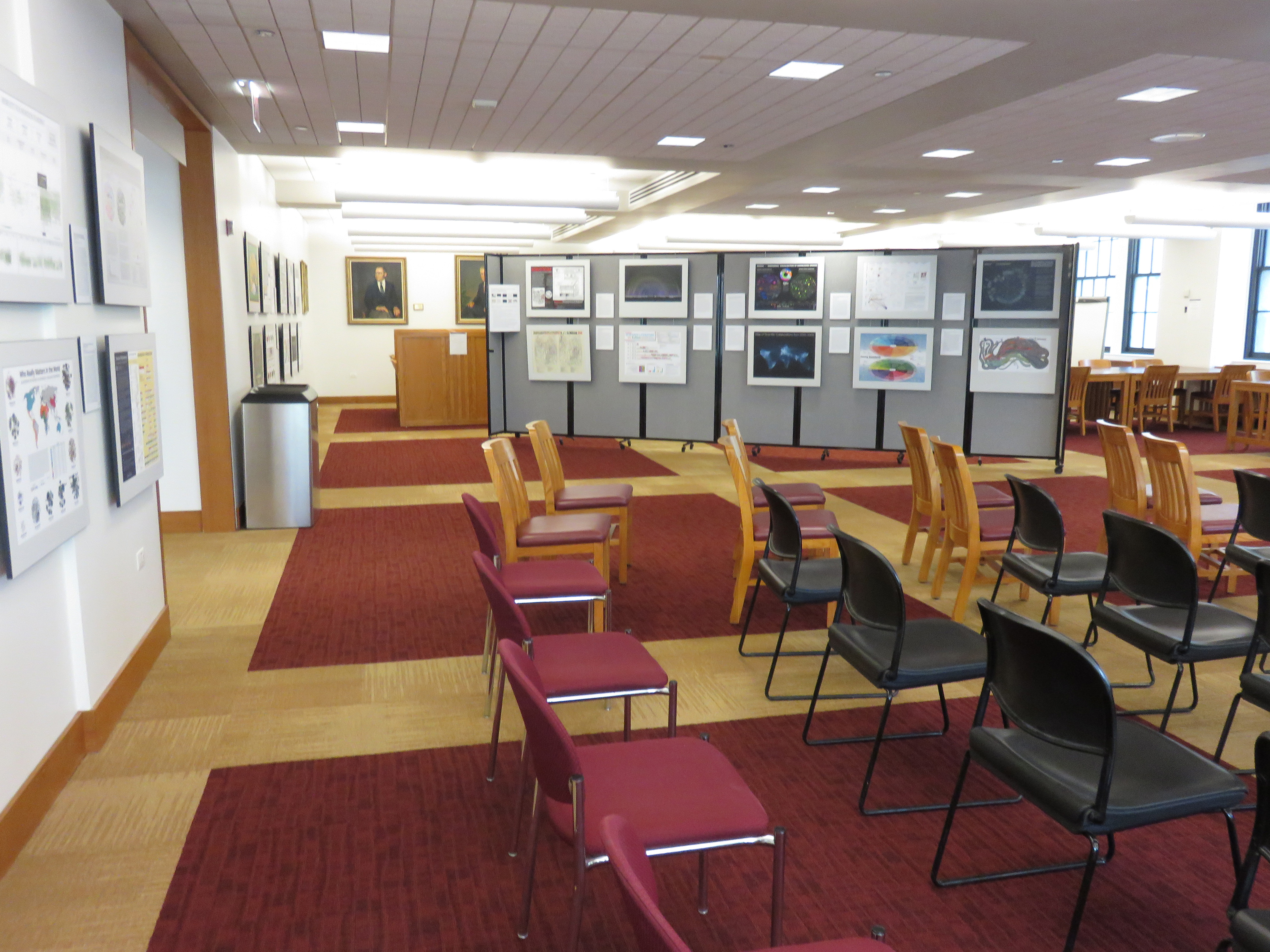
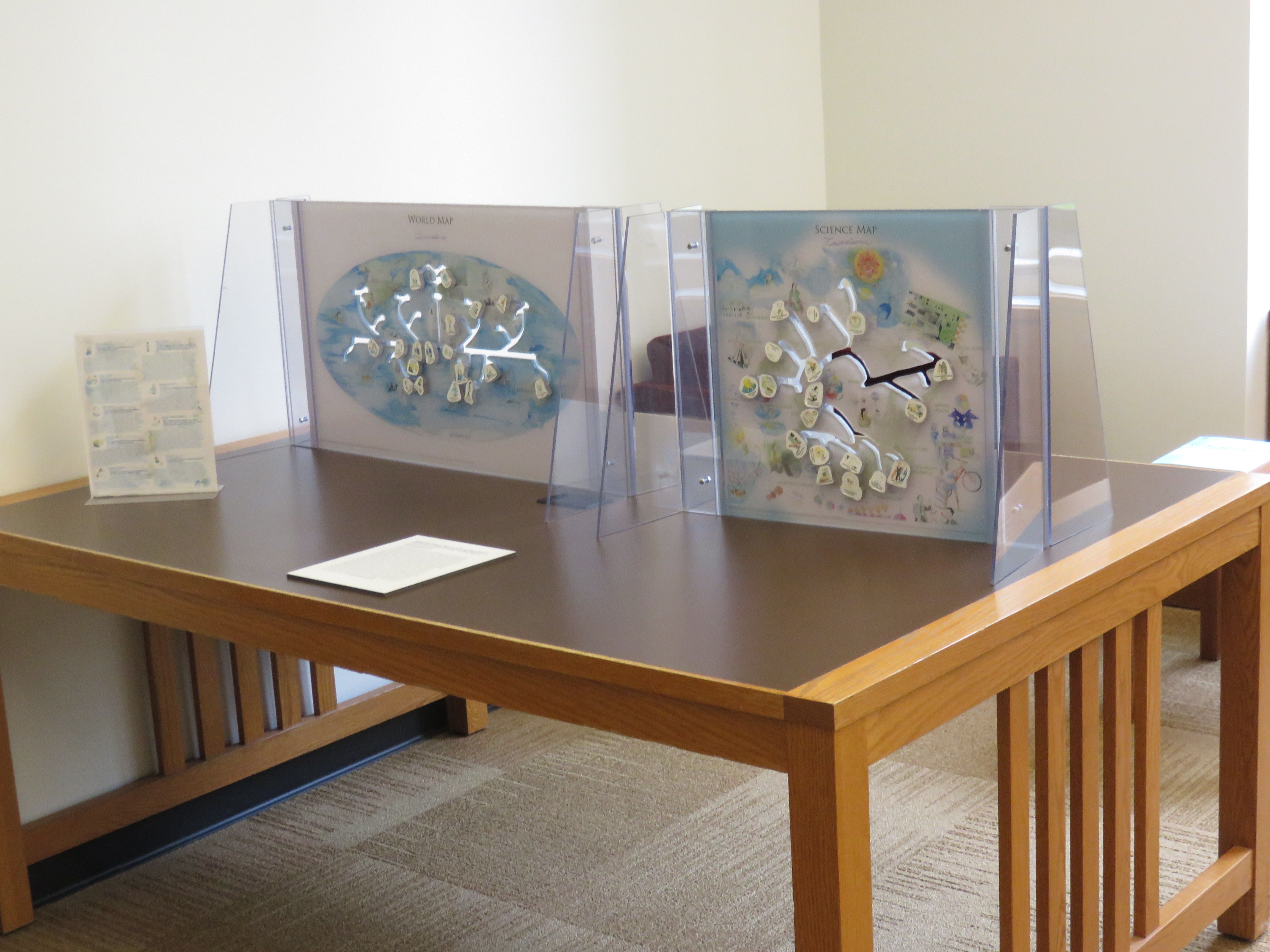
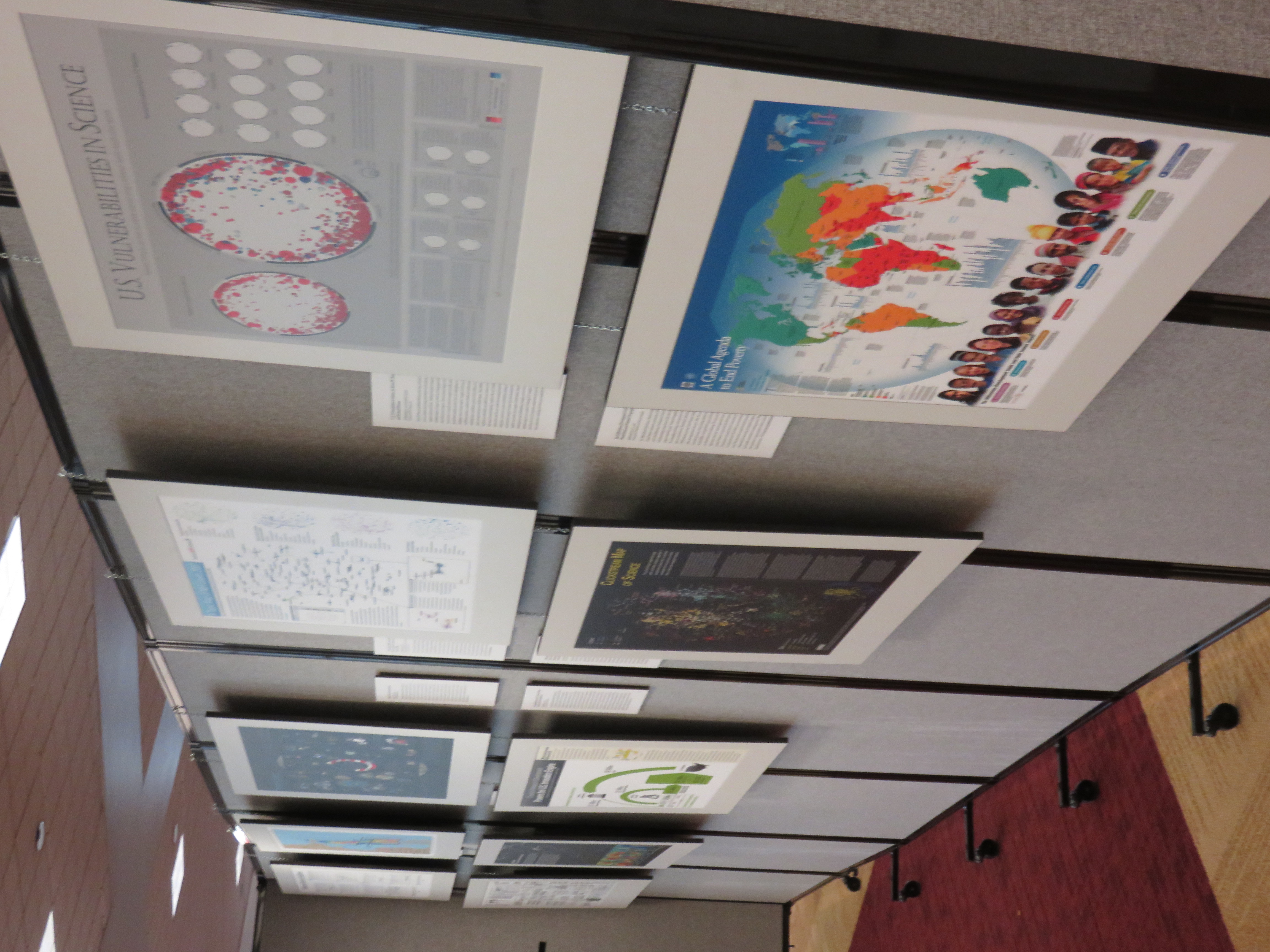
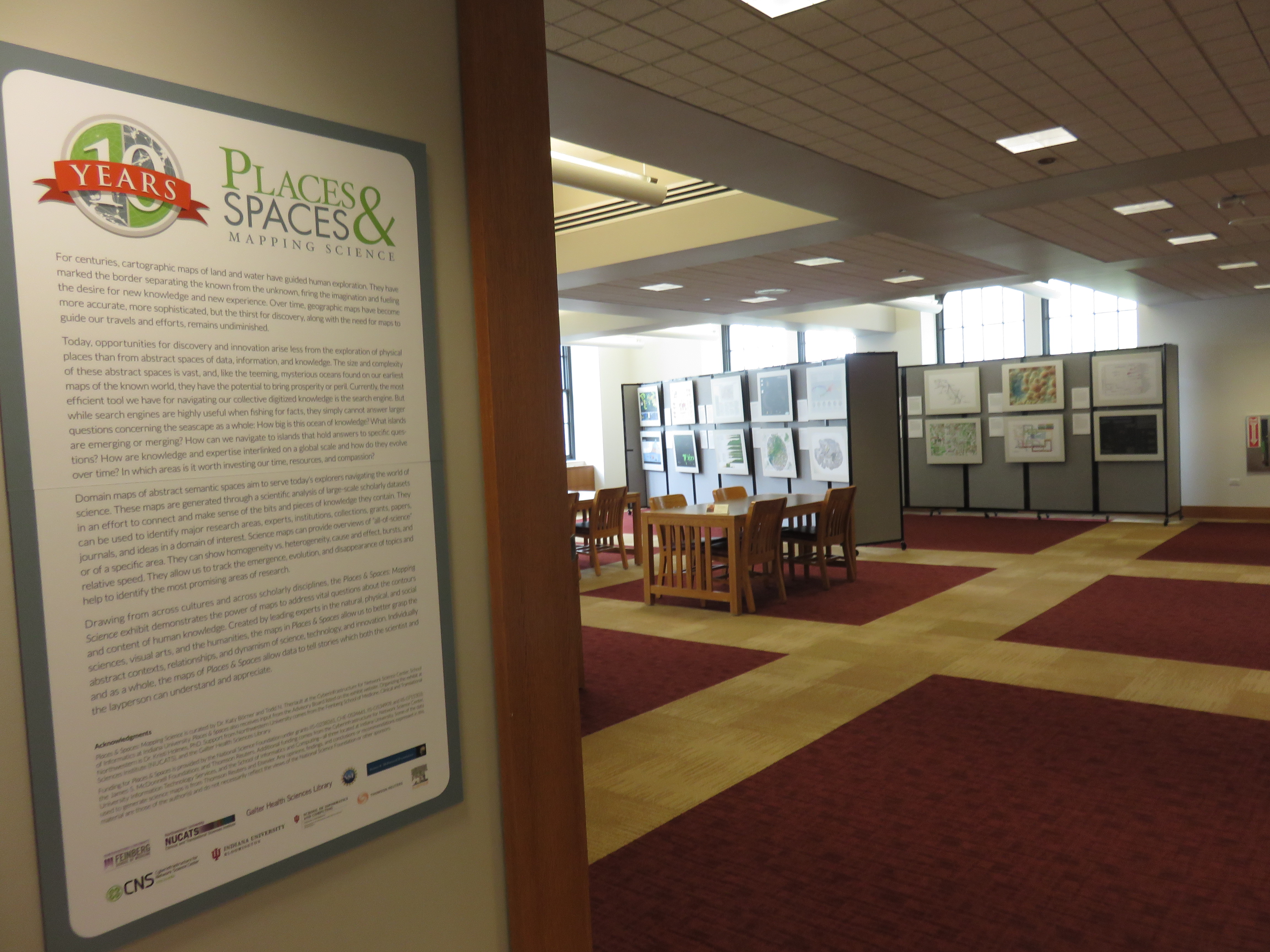
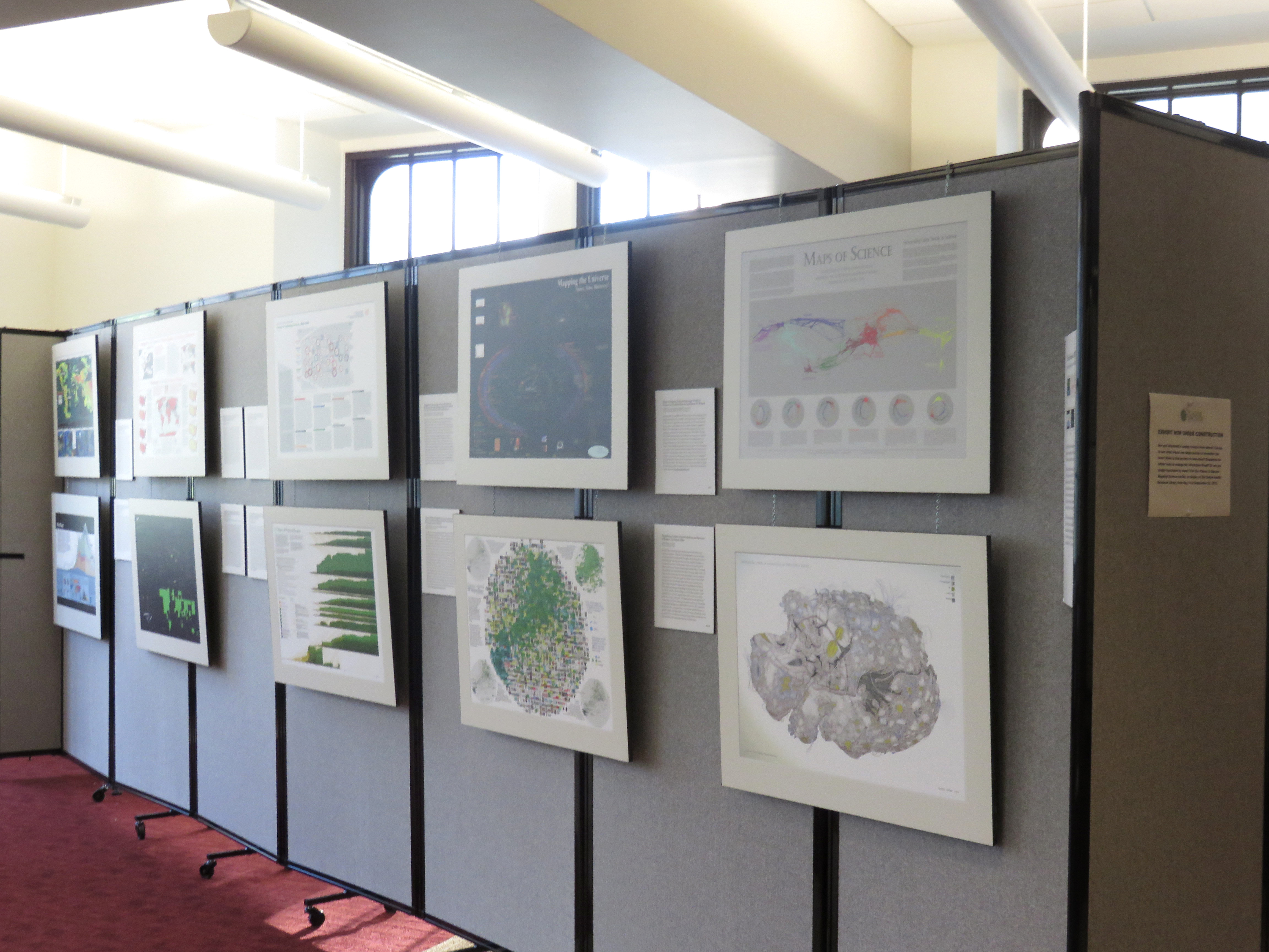

Exhibit Details
Drawing from across cultures and across scholarly disciplines, this exhibit demonstrates the power of maps to address vital questions about the contours and content of human knowledge.
-
- Location
- Second Floor
- Date
- May 14, 2015 - Sep 23, 2015
- Contact
- cnscntr@indiana.edu
- Links
- View the maps online
- Subjects
- art
- traveling exhibit
- data visualization
- maps